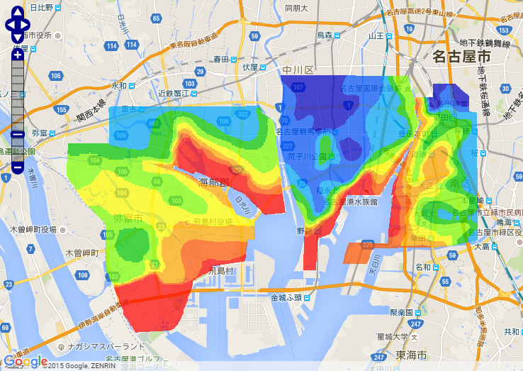
This website provides the summary of data on storm tide caused by Isewan Typhoon that devastated the coast of Ise Bay (Isewan) in 1959, and is released on the 50th anniversary of the disaster. In particular, this website digitized the report published by Jan Meteorological Agency in 1961 and aerial photographs just after the disaster so that they can be browsed as overlay on the current map.
(September 22, 2013) Solved a problem in the status of storm tide, which returned incorrect results before.
(October 1, 2010) Irregular parts of the highest water level was corrected.
(February 2, 2010) AGL (above ground level) was added and the accuracy of data was improved for WEB-GIS (detail). OGC Web Service was released.
(September 21, 2009) The highest water level was corrected for WEB-GIS.
